News
PSZAER approved: what changes for land and renewable energy projects
Municipalities: Cartaxo · Grândola
Update of 2 September 2026: the official PSZAER mapping is now available on the National Register of Geographic Data, with a WMS viewing service and a direct download of a ZIP file containing the vector layers of the wind and solar ZAER. The series is published by the Direção-Geral do Território; its metadata identifies EMER 2030 as the originating body. The data is released as open data under the Creative Commons CC BY 4.0 licence.
Two cautions are worth keeping in mind before drawing conclusions about a specific plot. The first is scale: the metadata gives an equivalent scale of 1:2,500,000, suited to reading at national level but not to checking the boundaries of a property.
The second follows from the conditions of use attached to the record, which reproduce the SNIT clause: information obtained through SNIT, «nomeadamente utilizando a funcionalidade de impressão, não se destina a ser utilizada para a instrução de procedimentos administrativos, salvo autorização expressa por parte da entidade pública responsável pelo procedimento». Unofficial translation: particularly where obtained using the print function, it is not intended to be used for instructing administrative procedures, save with the express authorisation of the public body responsible for the procedure.
Overlaying a property on the published mapping therefore allows no more than an indicative reading. For the ZAER represented in the Modelo Territorial, applying the corresponding regime to a project depends on the area being integrated into the municipal territorial plans, with the boundaries checked at municipal scale and the applicable technology identified. The ZAER provided for in NG3 for certain surfaces of pre-existing buildings and artificial structures, where the criteria set out there are met, are not part of the Modelo Territorial and do not depend on that integration.
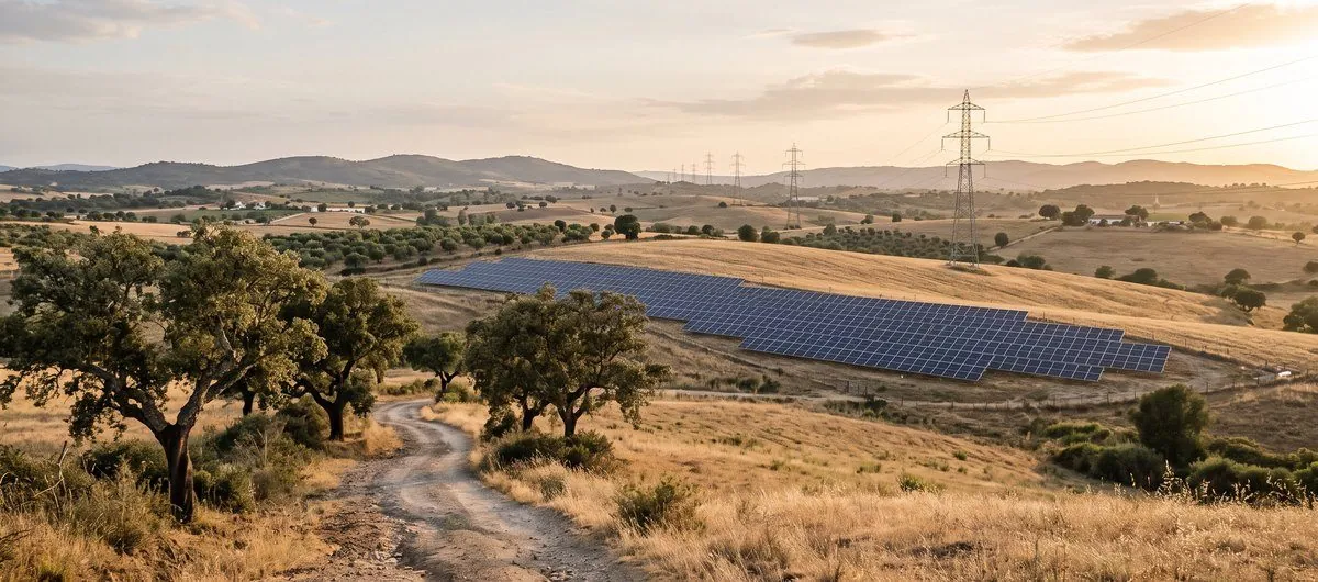
Council of Ministers Resolution no. 172-A/2026, published on 25 August in the supplement to Series I of the Diário da República, approved the Sectoral Programme for Renewable Energy Acceleration Areas (PSZAER).
Under paragraph 10, the resolution takes effect on 28 August 2026. It sets a territorial framework for accelerating solar photovoltaic and onshore wind projects in mainland Portugal.
The legal regime applicable to the ZAER was established by Decree-Law no. 130/2026 of 29 June, which amended Decree-Law no. 15/2022 and enters into force 60 days after publication, that is, also on 28 August 2026 (article 10). Article 9 limits its application in time: the amendments it introduces apply only to prior control procedures for renewable energy projects and for Public Electricity Service Network infrastructure started after its entry into force. Procedures started before that date are therefore not covered by those amendments.
The programme's Territorial Model identifies land suitable for ZAER in 147 municipalities, including Cartaxo and Grândola.
There is a distinction here worth fixing. A ZAER is an area meant to benefit from faster and more predictable procedures. On its own it is not an authorisation to install a solar plant or a wind farm.
The regime still depends on municipal plans
In the areas delimited in the Territorial Model, applying the ZAER regime to a project depends on that area being integrated into the municipal territorial plan (paragraph 2 of the resolution).
Municipalities have to check the boundaries at local scale, identify the applicable technology and reconcile the proposed areas with what the territory already establishes (paragraph 6(b)):
- the territorial organisation model set by the municipal master plan;
- land classes and categories and their rules on occupation, transformation and use;
- the applicable administrative easements and public interest restrictions;
- safeguarding National Defence interests;
- the continuity and viability of existing farming, in particular vineyards, orchards and olive groves;
- the environmental, ecological, agricultural, forestry, water, landscape and cultural heritage protection regimes;
- municipal choices on economic, urban, housing, tourism, social and infrastructure development.
As a rule, the municipalities covered must integrate into their plans an area equal to at least 1 % of the municipal territory, taken as a whole and regardless of technology. Where the total ZAER area falling within that municipality is below that threshold, the whole of that area must be integrated (paragraph 6(a)).
The resolution does allow technically substantiated exclusions or reductions where there are territorial incompatibilities and no suitable alternative areas among those delimited. The reasoning must be supported by mapping at an appropriate scale and must show that the competent bodies were consulted (paragraph 6(c), (d) and (f)).
No additional area is required in municipalities where the land already taken up by operating solar photovoltaic or onshore wind power plants, at the date the resolution takes effect, accounts for 10 % or more of the municipal territory (paragraph 7).
What are the deadlines?
Where existing territorial plans need to be amended or revised, that procedure must begin within 90 days from 28 August 2026 (paragraph 4(e)). Under the general rules in article 87 of the Administrative Procedure Code, procedural time limits shorter than six months do not run on Saturdays, Sundays and public holidays.
The amendment or revision must be concluded and published within 24 months from the same date (paragraph 4(b)). The obligation covers the municipal master plan and, where applicable, any urbanisation and detail plans whose provisions are incompatible with the programme.
During this period, a plot sitting inside the national Territorial Model is not enough to conclude that a project benefits from the ZAER regime. Municipal integration has to be followed, and the territorial rules actually in force at each moment have to be checked.
What about panels on existing roofs and structures?
The PSZAER sets a separate route for the surfaces of pre-existing buildings and artificial structures. For this purpose, each eligible surface constitutes an autonomous ZAER, whose geographical area corresponds to the horizontal projection of the building or structure.
These ZAER do not depend on integration into the municipal plan and do not count towards the 1 % threshold. But a project is only eligible if it meets, cumulatively, all four conditions in general rule NG3:
- it is intended for solar photovoltaic generation;
- it lies entirely within the geographical area of the ZAER;
- it is exempt from environmental impact assessment under article 42(2)(a) of Decree-Law no. 15/2022, with none of the situations in paragraph 3 of that article applying;
- it is not subject to urban planning prior control, under article 6-A(1)(g) of the RJUE or article 48(3)(a) of Decree-Law no. 15/2022, with none of the exceptions in paragraph 2 of that article 6-A or paragraph 4 of that article 48 applying.
So approval of the PSZAER does not mean that any photovoltaic installation on a roof is now free of control or of other legal and technical checks.
What changes for landowners?
Assessing a plot intended for a renewable energy project now also has to consider where it sits in relation to the PSZAER Territorial Model and to the municipal ZAER integration procedure, on top of the framework resulting from the municipal master plan and the other constraints in force.
It will also be necessary to confirm the technology envisaged, the specific configuration of the project, local constraints, the capacity actually available on the grid and whether a Capacity Reservation Title can be obtained.
On this last point the programme itself is explicit: proximity to the grid indicates the likely cost of connection but does not replace verifying the capacity actually available. Being inside a mapped area does not remove the need for these checks.
Projects outside the ZAER remain possible
The PSZAER does not reserve renewable generation to the acceleration areas. Projects located outside the ZAER can still be developed, subject to the general territorial, planning, environmental and energy rules.
The difference lies in the procedure. The ZAER are meant to offer greater predictability and shorter timeframes to projects that meet every location and eligibility criterion.
Before investing in the project
For owners, investors and developers, the first step is to confirm:
- how the plot is framed by the municipal master plan in force;
- any overlap with the PSZAER Territorial Model;
- environmental, agricultural, forestry, heritage and infrastructure constraints;
- the state of the municipal ZAER integration procedure;
- the conditions for access and connection to the electricity grid.
CertiAmb handles the territorial and planning assessment of land and projects, separating what already follows from the instruments in force from what still depends on a change to municipal planning.
Do you have land or a project and need to confirm its territorial framework? Talk to us: geral@certiamb.com · +351 910 441 470.
See also our services.
Read Council of Ministers Resolution no. 172-A/2026 in Diário da República →